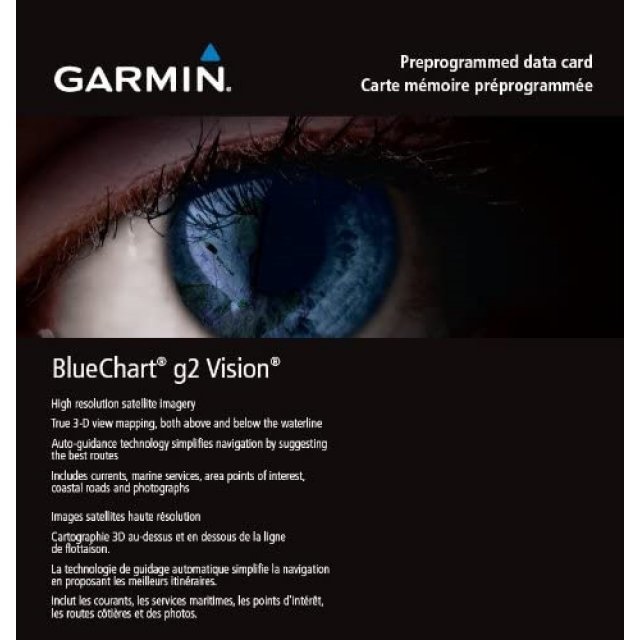
Garmin BlueChart g2 Vision Update Card
Product Description
Addition of European region: EU717L- East Mediterranean and Black Sea Nautical navigation with high-precision charting Premium mapping features including high-resolution satellite imagery', 3D perspectives above and below the waterline AutoGuidance technology finds the course for navigation Mariner’s eye view provides 3D perspective of chart information above the waterline for a quick, reliable and easy position fix BlueChart g2 Vision enhances the most detailed electronic marine charting for European waters with deep water depth contours in the Fishing display, landmark points and features and numerous chart and notice-to-mariner updates. BlueChart g2 Vision provides smooth-scrolling maps with user-defined depth contour safety shading, currents, inter-tidal zones, navaids, port plans, bathymetric fishing charts, 3D Mariner’s View and much more. g2 Vision adds high-resolution satellite imagery,' 3D FishEye View and our unique AutoGuidance technology.Collect in Store
This item is available for collection.


