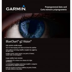
Garmin BlueChart g2 Vision Update Card
Addition of European region: EU717L- East Mediterranean and Black Sea Nautical navigation with high-precision charting Premium mapping features including high-resolution satellite imagery', 3D perspectives above and below the waterline AutoGuidance technology finds the course for navigation Mariner’s eye view provides 3D perspective of chart information above the waterline for a quick, reliable...
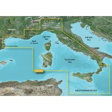
Garmin BlueChart G3 - HXEU012R: Mediterranean, Central-West
BlueChart g3 coastal charts provide industry-leading coverage, clarity and detail with integrated Garmin and Navionics data. Also included is Auto Guidance technology, which uses your desired depth and overhead clearance to calculate routes and provide a suggested path to follow — overlaid onto your chart. NOAA raster cartography is also available as a free downloadable feature via the ActiveCaptain app. It gives your chartplotter paper chartlike views of NOAA-surveyed areas in which individual points of interest are labelled with corresponding longitude and latitude information. Worldwide coverage is available by regions as accessory cards or via download; each region is sold separately. Compatable with ECHOMAP™ Plus series chartplotters.
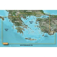
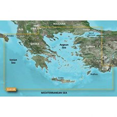
Garmin BlueChart G3 - HXEU015R: Aegean Sea & Sea of Marmara
BlueChart g3 coastal charts provide industry-leading coverage, clarity and detail with integrated Garmin and Navionics data. Also included is Auto Guidance technology, which uses your desired depth and overhead clearance to calculate routes and provide a suggested path to follow — overlaid onto your chart. NOAA raster cartography is also available as a free downloadable feature via the ActiveCaptain app. It gives your chartplotter paper chartlike views of NOAA-surveyed areas in which individual points of interest are labelled with corresponding longitude and latitude information. Worldwide coverage is available by regions as accessory cards or via download; each region is sold separately. Compatable with ECHOMAP™ Plus series chartplotters.
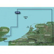
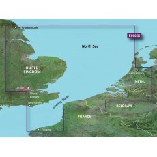
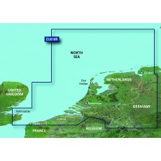
Garmin BlueChart G3 - HXEU018R: Benelux Offshore & Inland Waters
BlueChart g3 coastal charts provide industry-leading coverage, clarity and detail with integrated Garmin and Navionics data. Also included is Auto Guidance technology, which uses your desired depth and overhead clearance to calculate routes and provide a suggested path to follow — overlaid onto your chart. NOAA raster cartography is also available as a free downloadable feature via the ActiveCaptain app. It gives your chartplotter paper chartlike views of NOAA-surveyed areas in which individual points of interest are labelled with corresponding longitude and latitude information. Worldwide coverage is available by regions as accessory cards or via download; each region is sold separately. Compatable with ECHOMAP™ Plus series chartplotters.
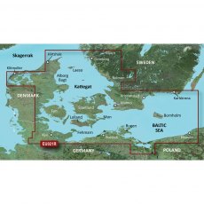
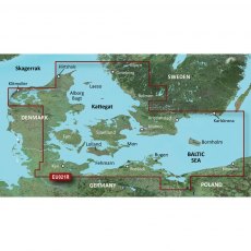
Garmin BlueChart G3 - HXEU021R: Denmark East & Sweden Southeast
BlueChart g3 coastal charts provide industry-leading coverage, clarity and detail with integrated Garmin and Navionics data. Also included is Auto Guidance technology, which uses your desired depth and overhead clearance to calculate routes and provide a suggested path to follow — overlaid onto your chart. NOAA raster cartography is also available as a free downloadable feature via the ActiveCaptain app. It gives your chartplotter paper chartlike views of NOAA-surveyed areas in which individual points of interest are labelled with corresponding longitude and latitude information. Worldwide coverage is available by regions as accessory cards or via download; each region is sold separately. Compatable with ECHOMAP™ Plus series chartplotters.
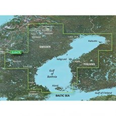
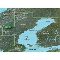
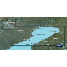
Garmin BlueChart G3 - HXEU047R: Gulf of Bothnia
BlueChart g3 coastal charts provide industry-leading coverage, clarity and detail with integrated Garmin and Navionics data. Also included is Auto Guidance technology, which uses your desired depth and overhead clearance to calculate routes and provide a suggested path to follow — overlaid onto your chart. NOAA raster cartography is also available as a free downloadable feature via the ActiveCaptain app. It gives your chartplotter paper chartlike views of NOAA-surveyed areas in which individual points of interest are labelled with corresponding longitude and latitude information. Worldwide coverage is available by regions as accessory cards or via download; each region is sold separately. Compatable with ECHOMAP™ Plus series chartplotters.
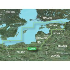
Garmin BlueChart G3 - HXEU065R: Baltic Sea, East Coast
BlueChart g3 coastal charts provide industry-leading coverage, clarity and detail with integrated Garmin and Navionics data. Also included is Auto Guidance technology, which uses your desired depth and overhead clearance to calculate routes and provide a suggested path to follow — overlaid onto your chart. NOAA raster cartography is also available as a free downloadable feature via the ActiveCaptain app. It gives your chartplotter paper chartlike views of NOAA-surveyed areas in which individual points of interest are labelled with corresponding longitude and latitude information. Worldwide coverage is available by regions as accessory cards or via download; each region is sold separately. Compatable with ECHOMAP™ Plus series chartplotters.
Garmin Bluechart G3 EU002R S/E England-Benelux Inland Waters
EU002R Garmin Bluechart G3 S/E England-Benelux Inland Waters
Unparalleled Coastal Chart Coverage
Provides industry-leading coverage, clarity and detail with updated coastal charts that feature integrated Garmin and Navionics data
Auto Guidance1 technology calculates a route using your desired depth and overhead clearance and provides a suggested path to follow
Includes Depth Range Shading...
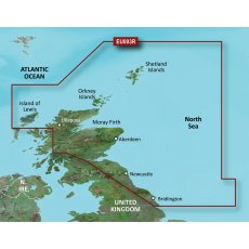
Garmin Bluechart G3 EU003R Great Britain, Northeast Coast
EU003R Garmin Bluechart G3 Great Britain, Northeast Coast
Unparalleled Coastal Chart Coverage
Provides industry-leading coverage, clarity and detail with updated coastal charts that feature integrated Garmin and Navionics data
Auto Guidance1 technology calculates a route using your desired depth and overhead clearance and provides a suggested path to follow
Includes Depth Range Shading...
Garmin Bluechart G3 EU004R Irish Sea
EU004R Garmin Bluechart G3 Irish Sea
Unparalleled Coastal Chart Coverage
Provides industry-leading coverage, clarity and detail with updated coastal charts that feature integrated Garmin and Navionics data
Auto Guidance1 technology calculates a route using your desired depth and overhead clearance and provides a suggested path to follow
Includes Depth Range Shading for up to 10 depth ranges,...
Garmin Bluechart G3 EU005R Ireland, West Coast
EU005R Garmin Bluechart G3 Ireland, West Coast
Unparalleled Coastal Chart Coverage
Provides industry-leading coverage, clarity and detail with updated coastal charts that feature integrated Garmin and Navionics data
Auto Guidance1 technology calculates a route using your desired depth and overhead clearance and provides a suggested path to follow
Includes Depth Range Shading for up to...
Garmin Bluechart G3 EU006R Scotland, West Coast
EU006R Garmin Bluechart G3 Scotland, West Coast
Unparalleled Coastal Chart Coverage
Provides industry-leading coverage, clarity and detail with updated coastal charts that feature integrated Garmin and Navionics data
Auto Guidance1 technology calculates a route using your desired depth and overhead clearance and provides a suggested path to follow
Includes Depth Range Shading for up to...
Garmin Bluechart G3 EU008R Bay Of Biscay
EU008R Garmin Bluechart G3 Bay Of Biscay
Unparalleled Coastal Chart Coverage
Provides industry-leading coverage, clarity and detail with updated coastal charts that feature integrated Garmin and Navionics data
Auto Guidance1 technology calculates a route using your desired depth and overhead clearance and provides a suggested path to follow
Includes Depth Range Shading for up to 10 depth...
Garmin Bluechart G3 EU018R Benelux Offshore & Inland Waters
EU018R Garmin Bluechart G3 Benelux Offshore & Inland Waters
Unparalleled Coastal Chart Coverage
Provides industry-leading coverage, clarity and detail with updated coastal charts that feature integrated Garmin and Navionics data
Auto Guidance1 technology calculates a route using your desired depth and overhead clearance and provides a suggested path to follow
Includes Depth Range Shading...
Garmin Bluechart G3 HXEU001R English Channel
EU001R Garmin Bluechart G3 English Channel
Unparalleled Coastal Chart Coverage
Provides industry-leading coverage, clarity and detail with updated coastal charts that feature integrated Garmin and Navionics data
Auto Guidance1 technology calculates a route using your desired depth and overhead clearance and provides a suggested path to follow
Includes Depth Range Shading for up to 10 depth...
Garmin BlueChart G3 Vision - VEU002R: S/E England-Belux Inland Waters
Experience unparalleled coverage and brilliant detail when you're on the water. BlueChart G3 Vision coastal charts provide industry-leading coverage, clarity and detail with integrated Garmin and Navionics content. Compatable with the Garmin GPSMAP and ECHOMAP series Chartplotters.
Garmin BlueChart G3 Vision - VEU003R: Great Britain, Northeast Coast
Experience unparalleled coverage and brilliant detail when you're on the water. BlueChart G3 Vision coastal charts provide industry-leading coverage, clarity and detail with integrated Garmin and Navionics content. Compatable with the Garmin GPSMAP and ECHOMAP series Chartplotters.
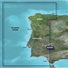
Garmin BlueChart G3 Vision - VEU009R: Portugal & Northwest Spain
Experience unparalleled coverage and brilliant detail when you're on the water. BlueChart G3 Vision coastal charts provide industry-leading coverage, clarity and detail with integrated Garmin and Navionics content. Compatable with the Garmin GPSMAP and ECHOMAP series Chartplotters.
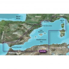
Garmin BlueChart G3 Vision - VEU010R: Spain, Mediterranean Coast
Experience unparalleled coverage and brilliant detail when you're on the water. BlueChart G3 Vision coastal charts provide industry-leading coverage, clarity and detail with integrated Garmin and Navionics content. Compatable with the Garmin GPSMAP and ECHOMAP series Chartplotters.
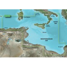
Garmin BlueChart G3 Vision - VEU013R: Italy Southwest & Tunisia
Experience unparalleled coverage and brilliant detail when you're on the water. BlueChart G3 Vision coastal charts provide industry-leading coverage, clarity and detail with integrated Garmin and Navionics content. Compatable with the Garmin GPSMAP and ECHOMAP series Chartplotters.
Garmin BlueChart G3 Vision - VEU015R: Aegean Sea & Sea of Marmara
Experience unparalleled coverage and brilliant detail when you're on the water. BlueChart G3 Vision coastal charts provide industry-leading coverage, clarity and detail with integrated Garmin and Navionics content. Compatable with the Garmin GPSMAP and ECHOMAP series Chartplotters.
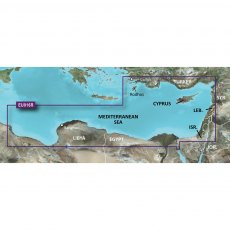
Garmin BlueChart G3 Vision - VEU016R: Mediterranean Southeast
Experience unparalleled coverage and brilliant detail when you're on the water. BlueChart G3 Vision coastal charts provide industry-leading coverage, clarity and detail with integrated Garmin and Navionics content. Compatable with the Garmin GPSMAP and ECHOMAP series Chartplotters.
Garmin BlueChart G3 Vision - VEU018R: Benelux Offshore & Inland Waters
Experience unparalleled coverage and brilliant detail when you're on the water. BlueChart G3 Vision coastal charts provide industry-leading coverage, clarity and detail with integrated Garmin and Navionics content. Compatable with the Garmin GPSMAP and ECHOMAP series Chartplotters.
Garmin BlueChart G3 Vision - VEU021R: Denmark East & Sweden Southeast
Experience unparalleled coverage and brilliant detail when you're on the water. BlueChart G3 Vision coastal charts provide industry-leading coverage, clarity and detail with integrated Garmin and Navionics content. Compatable with the Garmin GPSMAP and ECHOMAP series Chartplotters.
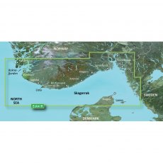
Garmin BlueChart G3 Vision - VEU041R: Oslo - Skagerak - Haugesund
Experience unparalleled coverage and brilliant detail when you're on the water. BlueChart G3 Vision coastal charts provide industry-leading coverage, clarity and detail with integrated Garmin and Navionics content. Compatable with the Garmin GPSMAP and ECHOMAP series Chartplotters.
Garmin BlueChart G3 Vision - VEU047R: Gulf of Bothnia
Experience unparalleled coverage and brilliant detail when you're on the water. BlueChart G3 Vision coastal charts provide industry-leading coverage, clarity and detail with integrated Garmin and Navionics content. Compatable with the Garmin GPSMAP and ECHOMAP series Chartplotters.
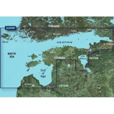
Garmin BlueChart G3 Vision - VEU050R: Gulfs of Finland & Riga
Experience unparalleled coverage and brilliant detail when you're on the water. BlueChart G3 Vision coastal charts provide industry-leading coverage, clarity and detail with integrated Garmin and Navionics content. Compatable with the Garmin GPSMAP and ECHOMAP series Chartplotters.
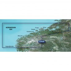
Garmin BlueChart G3 Vision - VEU052R: Sognefjorden - Svefjorden
Experience unparalleled coverage and brilliant detail when you're on the water. BlueChart G3 Vision coastal charts provide industry-leading coverage, clarity and detail with integrated Garmin and Navionics content. Compatable with the Garmin GPSMAP and ECHOMAP series Chartplotters.
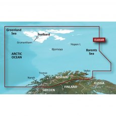
Garmin BlueChart G3 Vision - VEU054R: Vestfjd - Svalbard - Varanger
Experience unparalleled coverage and brilliant detail when you're on the water. BlueChart G3 Vision coastal charts provide industry-leading coverage, clarity and detail with integrated Garmin and Navionics content. Compatable with the Garmin GPSMAP and ECHOMAP series Chartplotters.
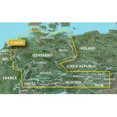
Garmin BlueChart G3 Vision - VEU060R: Germany Inland Waters
Experience unparalleled coverage and brilliant detail when you're on the water. BlueChart G3 Vision coastal charts provide industry-leading coverage, clarity and detail with integrated Garmin and Navionics content. Compatable with the Garmin GPSMAP and ECHOMAP series Chartplotters.
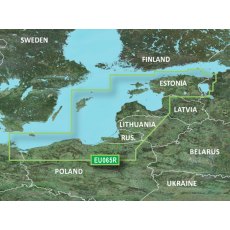
Garmin BlueChart G3 Vision - VEU065R: Baltic Sea, East Coast
Experience unparalleled coverage and brilliant detail when you're on the water. BlueChart G3 Vision coastal charts provide industry-leading coverage, clarity and detail with integrated Garmin and Navionics content. Compatable with the Garmin GPSMAP and ECHOMAP series Chartplotters.
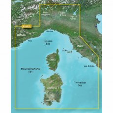
Garmin BlueChart G3 Vision - VEU451S: Ligurian Sea, Corsica & Sardinia
Experience unparalleled coverage and brilliant detail when you're on the water. BlueChart G3 Vision coastal charts provide industry-leading coverage, clarity and detail with integrated Garmin and Navionics content. Compatable with the Garmin GPSMAP and ECHOMAP series Chartplotters.
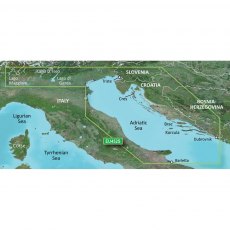
Garmin BlueChart G3 Vision - VEU452S: Adriatic Sea, North Coast
Experience unparalleled coverage and brilliant detail when you're on the water. BlueChart G3 Vision coastal charts provide industry-leading coverage, clarity and detail with integrated Garmin and Navionics content. Compatable with the Garmin GPSMAP and ECHOMAP series Chartplotters.
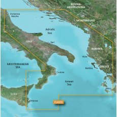
Garmin BlueChart G3 Vision - VEU453S: Adriatic Sea, South Coast
Experience unparalleled coverage and brilliant detail when you're on the water. BlueChart G3 Vision coastal charts provide industry-leading coverage, clarity and detail with integrated Garmin and Navionics content. Compatable with the Garmin GPSMAP and ECHOMAP series Chartplotters.
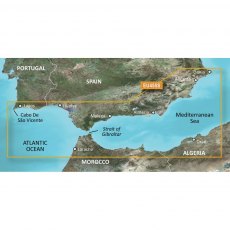
Garmin BlueChart G3 Vision - VEU455S: Alicante - Cabo de Sao Vicente
Experience unparalleled coverage and brilliant detail when you're on the water. BlueChart G3 Vision coastal charts provide industry-leading coverage, clarity and detail with integrated Garmin and Navionics content. Compatable with the Garmin GPSMAP and ECHOMAP series Chartplotters.
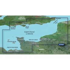
Garmin BlueChart G3 Vision - VEU456S: English Channel, Cent-East
Experience unparalleled coverage and brilliant detail when you're on the water. BlueChart G3 Vision coastal charts provide industry-leading coverage, clarity and detail with integrated Garmin and Navionics content. Compatible with the Garmin GPSMAP and ECHOMAP series Chartplotters.
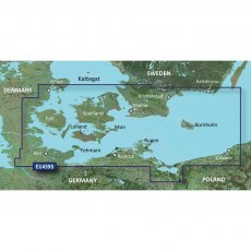
Garmin BlueChart G3 Vision - VEU459S: Arhus - Kiel - Koszalin
Experience unparalleled coverage and brilliant detail when you're on the water. BlueChart G3 Vision coastal charts provide industry-leading coverage, clarity and detail with integrated Garmin and Navionics content. Compatible with the Garmin GPSMAP and ECHOMAP series Chartplotters.
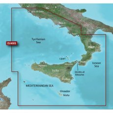
Garmin BlueChart G3 Vision - VEU460S: Sicily - Lido de Ostia
Experience unparalleled coverage and brilliant detail when you're on the water. BlueChart G3 Vision coastal charts provide industry-leading coverage, clarity and detail with integrated Garmin and Navionics content. Compatable with the Garmin GPSMAP and ECHOMAP series Chartplotters.
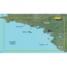
Garmin BlueChart G3 Vision - VEU464S: Penmarch - Les Sables
Experience unparalleled coverage and brilliant detail when you're on the water. BlueChart G3 Vision coastal charts provide industry-leading coverage, clarity and detail with integrated Garmin and Navionics content. Compatible with the Garmin GPSMAP and ECHOMAP series Chartplotters.
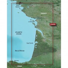
Garmin BlueChart G3 Vision - VEU465S: La Baule - San Sebastian
Experience unparalleled coverage and brilliant detail when you're on the water. BlueChart G3 Vision coastal charts provide industry-leading coverage, clarity and detail with integrated Garmin and Navionics content. Compatible with the Garmin GPSMAP and ECHOMAP series Chartplotters.
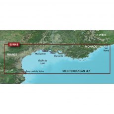
Garmin BlueChart G3 Vision - VEU466S: Golfe Du Lion - San Remo
Experience unparalleled coverage and brilliant detail when you're on the water. BlueChart G3 Vision coastal charts provide industry-leading coverage, clarity and detail with integrated Garmin and Navionics content. Compatable with the Garmin GPSMAP and ECHOMAP series Chartplotters.
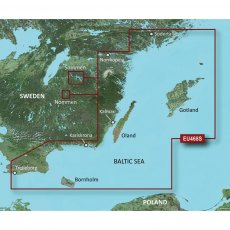
Garmin BlueChart G3 Vision - VEU468S: Sodertalje - Trelleborg
Experience unparalleled coverage and brilliant detail when you're on the water. BlueChart G3 Vision coastal charts provide industry-leading coverage, clarity and detail with integrated Garmin and Navionics content. Compatible with the Garmin GPSMAP and ECHOMAP series Chartplotters.
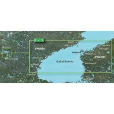
Garmin BlueChart G3 Vision - VEU471S: Gulf of Bothnia, South
Experience unparalleled coverage and brilliant detail when you're on the water. BlueChart G3 Vision coastal charts provide industry-leading coverage, clarity and detail with integrated Garmin and Navionics content. Compatible with the Garmin GPSMAP and ECHOMAP series Chartplotters.
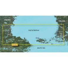
Garmin BlueChart G3 Vision - VEU472S: Gulf of Bothnia, Center
Experience unparalleled coverage and brilliant detail when you're on the water. BlueChart G3 Vision coastal charts provide industry-leading coverage, clarity and detail with integrated Garmin and Navionics content. Compatable with the Garmin GPSMAP and ECHOMAP series Chartplotters.
Garmin BlueChart G3 Vision - VEU473S: Gulf of Bothnia, North
Experience unparalleled coverage and brilliant detail when you're on the water. BlueChart G3 Vision coastal charts provide industry-leading coverage, clarity and detail with integrated Garmin and Navionics content. Compatable with the Garmin GPSMAP and ECHOMAP series Chartplotters.
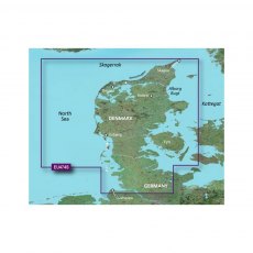
Garmin BlueChart G3 Vision - VEU474S: North Denmark & the Eider
Experience unparalleled coverage and brilliant detail when you're on the water. BlueChart G3 Vision coastal charts provide industry-leading coverage, clarity and detail with integrated Garmin and Navionics content. Compatable with the Garmin GPSMAP and ECHOMAP series Chartplotters.
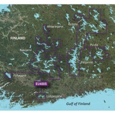
Garmin BlueChart G3 Vision - VEU488S: Keitele - Paijanne - Tampere
Experience unparalleled coverage and brilliant detail when you're on the water. BlueChart G3 Vision coastal charts provide industry-leading coverage, clarity and detail with integrated Garmin and Navionics content. Compatable with the Garmin GPSMAP and ECHOMAP series Chartplotters.
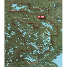
Garmin BlueChart G3 Vision - VEU489S: Kuopio - Lappeenranta
Experience unparalleled coverage and brilliant detail when you're on the water. BlueChart G3 Vision coastal charts provide industry-leading coverage, clarity and detail with integrated Garmin and Navionics content. Compatable with the Garmin GPSMAP and ECHOMAP series Chartplotters.


