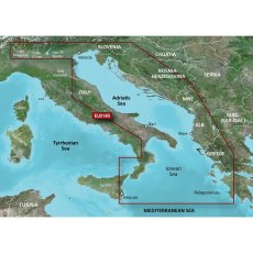
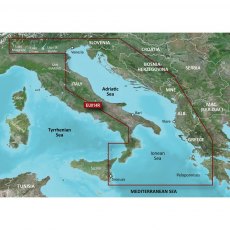
Garmin BlueChart G3 Regular Area - HXEU014R Italy, Adriatic Sea
BlueChart g3 coastal charts provide industry-leading coverage, clarity and detail with integrated Garmin and Navionics data. Also included is Auto Guidance technology, which uses your desired depth and overhead clearance to calculate routes and provide a suggested path to follow — overlaid onto your chart. NOAA raster cartography is also available as a free downloadable feature via the ActiveCaptain app. It gives your chartplotter paper chartlike views of NOAA-surveyed areas in which individual points of interest are labelled with corresponding longitude and latitude information. Worldwide coverage is available by regions as accessory cards or via download; each region is sold separately. Compatable with ECHOMAP™ Plus series chartplotters.
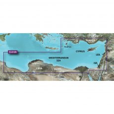
Garmin BlueChart G3 Regular Area - HXEU016R Mediterranean Southeast
BlueChart g3 coastal charts provide industry-leading coverage, clarity and detail with integrated Garmin and Navionics data. Also included is Auto Guidance technology, which uses your desired depth and overhead clearance to calculate routes and provide a suggested path to follow — overlaid onto your chart. NOAA raster cartography is also available as a free downloadable feature via the ActiveCaptain app. It gives your chartplotter paper chartlike views of NOAA-surveyed areas in which individual points of interest are labelled with corresponding longitude and latitude information. Worldwide coverage is available by regions as accessory cards or via download; each region is sold separately. Compatable with ECHOMAP™ Plus series chartplotters.
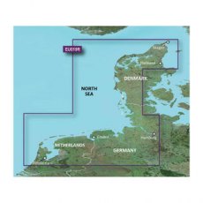
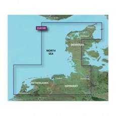
Garmin BlueChart G3 Regular Area - HXEU019R Alborg-Amsterdam
BlueChart g3 coastal charts provide industry-leading coverage, clarity and detail with integrated Garmin and Navionics data. Also included is Auto Guidance technology, which uses your desired depth and overhead clearance to calculate routes and provide a suggested path to follow — overlaid onto your chart. NOAA raster cartography is also available as a free downloadable feature via the ActiveCaptain app. It gives your chartplotter paper chartlike views of NOAA-surveyed areas in which individual points of interest are labelled with corresponding longitude and latitude information. Worldwide coverage is available by regions as accessory cards or via download; each region is sold separately. Compatable with ECHOMAP™ Plus series chartplotters.
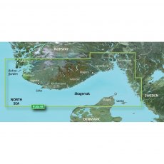
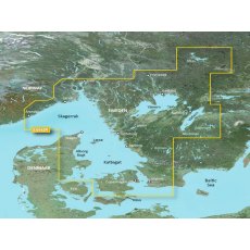
Garmin BlueChart G3 Regular Area - HXEU041R Oslo-Skagerak-Haugesund
BlueChart g3 coastal charts provide industry-leading coverage, clarity and detail with integrated Garmin and Navionics data. Also included is Auto Guidance technology, which uses your desired depth and overhead clearance to calculate routes and provide a suggested path to follow — overlaid onto your chart. NOAA raster cartography is also available as a free downloadable feature via the ActiveCaptain app. It gives your chartplotter paper chartlike views of NOAA-surveyed areas in which individual points of interest are labelled with corresponding longitude and latitude information. Worldwide coverage is available by regions as accessory cards or via download; each region is sold separately. Compatable with ECHOMAP™ Plus series chartplotters.
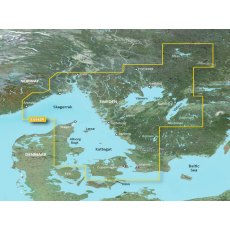
Garmin BlueChart G3 Regular Area - HXEU042R Oslo-Trelleborg
BlueChart g3 coastal charts provide industry-leading coverage, clarity and detail with integrated Garmin and Navionics data. Also included is Auto Guidance technology, which uses your desired depth and overhead clearance to calculate routes and provide a suggested path to follow — overlaid onto your chart. NOAA raster cartography is also available as a free downloadable feature via the ActiveCaptain app. It gives your chartplotter paper chartlike views of NOAA-surveyed areas in which individual points of interest are labelled with corresponding longitude and latitude information. Worldwide coverage is available by regions as accessory cards or via download; each region is sold separately. Compatable with ECHOMAP™ Plus series chartplotters.
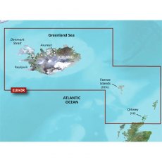
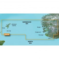
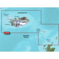
Garmin BlueChart G3 Regular Area - HXEU043R Iceland to Orkney
BlueChart g3 coastal charts provide industry-leading coverage, clarity and detail with integrated Garmin and Navionics data. Also included is Auto Guidance technology, which uses your desired depth and overhead clearance to calculate routes and provide a suggested path to follow — overlaid onto your chart. NOAA raster cartography is also available as a free downloadable feature via the ActiveCaptain app. It gives your chartplotter paper chartlike views of NOAA-surveyed areas in which individual points of interest are labelled with corresponding longitude and latitude information. Worldwide coverage is available by regions as accessory cards or via download; each region is sold separately. Compatable with ECHOMAP™ Plus series chartplotters.
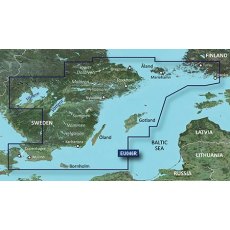
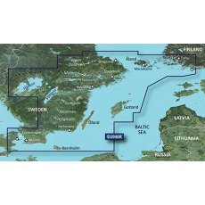
Garmin BlueChart G3 Regular Area - HXEU046R Sweden, South-East
BlueChart g3 coastal charts provide industry-leading coverage, clarity and detail with integrated Garmin and Navionics data. Also included is Auto Guidance technology, which uses your desired depth and overhead clearance to calculate routes and provide a suggested path to follow — overlaid onto your chart. NOAA raster cartography is also available as a free downloadable feature via the ActiveCaptain app. It gives your chartplotter paper chartlike views of NOAA-surveyed areas in which individual points of interest are labelled with corresponding longitude and latitude information. Worldwide coverage is available by regions as accessory cards or via download; each region is sold separately. Compatable with ECHOMAP™ Plus series chartplotters.
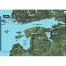
Garmin BlueChart G3 Regular Area - HXEU050R Gulfs of Finland & Riga
BlueChart g3 coastal charts provide industry-leading coverage, clarity and detail with integrated Garmin and Navionics data. Also included is Auto Guidance technology, which uses your desired depth and overhead clearance to calculate routes and provide a suggested path to follow — overlaid onto your chart. NOAA raster cartography is also available as a free downloadable feature via the ActiveCaptain app. It gives your chartplotter paper chartlike views of NOAA-surveyed areas in which individual points of interest are labelled with corresponding longitude and latitude information. Worldwide coverage is available by regions as accessory cards or via download; each region is sold separately. Compatable with ECHOMAP™ Plus series chartplotters.
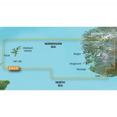
Garmin BlueChart G3 Regular Area - HXEU051R Lista-Sognefjorden
BlueChart g3 coastal charts provide industry-leading coverage, clarity and detail with integrated Garmin and Navionics data. Also included is Auto Guidance technology, which uses your desired depth and overhead clearance to calculate routes and provide a suggested path to follow — overlaid onto your chart. NOAA raster cartography is also available as a free downloadable feature via the ActiveCaptain app. It gives your chartplotter paper chartlike views of NOAA-surveyed areas in which individual points of interest are labelled with corresponding longitude and latitude information. Worldwide coverage is available by regions as accessory cards or via download; each region is sold separately. Compatable with ECHOMAP™ Plus series chartplotters.
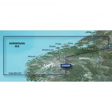
Garmin BlueChart G3 Regular Area - HXEU052R Sognefjorden-Svefjorden
BlueChart g3 coastal charts provide industry-leading coverage, clarity and detail with integrated Garmin and Navionics data. Also included is Auto Guidance technology, which uses your desired depth and overhead clearance to calculate routes and provide a suggested path to follow — overlaid onto your chart. NOAA raster cartography is also available as a free downloadable feature via the ActiveCaptain app. It gives your chartplotter paper chartlike views of NOAA-surveyed areas in which individual points of interest are labelled with corresponding longitude and latitude information. Worldwide coverage is available by regions as accessory cards or via download; each region is sold separately. Compatable with ECHOMAP™ Plus series chartplotters.
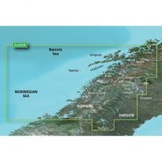
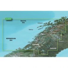
Garmin BlueChart G3 Regular Area - HXEU053R Trondheim-Tromso
BlueChart g3 coastal charts provide industry-leading coverage, clarity and detail with integrated Garmin and Navionics data. Also included is Auto Guidance technology, which uses your desired depth and overhead clearance to calculate routes and provide a suggested path to follow — overlaid onto your chart. NOAA raster cartography is also available as a free downloadable feature via the ActiveCaptain app. It gives your chartplotter paper chartlike views of NOAA-surveyed areas in which individual points of interest are labelled with corresponding longitude and latitude information. Worldwide coverage is available by regions as accessory cards or via download; each region is sold separately. Compatable with ECHOMAP™ Plus series chartplotters.
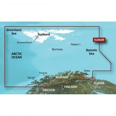
Garmin BlueChart G3 Regular Area - HXEU054R Vestfjd-Svalbard-Varanger
BlueChart g3 coastal charts provide industry-leading coverage, clarity and detail with integrated Garmin and Navionics data. Also included is Auto Guidance technology, which uses your desired depth and overhead clearance to calculate routes and provide a suggested path to follow — overlaid onto your chart. NOAA raster cartography is also available as a free downloadable feature via the ActiveCaptain app. It gives your chartplotter paper chartlike views of NOAA-surveyed areas in which individual points of interest are labelled with corresponding longitude and latitude information. Worldwide coverage is available by regions as accessory cards or via download; each region is sold separately. Compatable with ECHOMAP™ Plus series chartplotters.
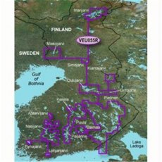
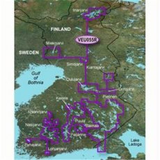
Garmin BlueChart G3 Regular Area - HXEU055R Finnish Lakes
BlueChart g3 coastal charts provide industry-leading coverage, clarity and detail with integrated Garmin and Navionics data. Also included is Auto Guidance technology, which uses your desired depth and overhead clearance to calculate routes and provide a suggested path to follow — overlaid onto your chart. NOAA raster cartography is also available as a free downloadable feature via the ActiveCaptain app. It gives your chartplotter paper chartlike views of NOAA-surveyed areas in which individual points of interest are labelled with corresponding longitude and latitude information. Worldwide coverage is available by regions as accessory cards or via download; each region is sold separately. Compatable with ECHOMAP™ Plus series chartplotters.
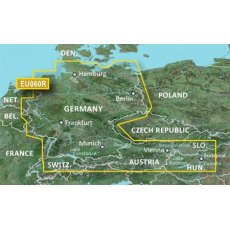
Garmin BlueChart G3 Regular Area - HXEU060R Germany Inland Waters
BlueChart g3 coastal charts provide industry-leading coverage, clarity and detail with integrated Garmin and Navionics data. Also included is Auto Guidance technology, which uses your desired depth and overhead clearance to calculate routes and provide a suggested path to follow — overlaid onto your chart. NOAA raster cartography is also available as a free downloadable feature via the ActiveCaptain app. It gives your chartplotter paper chartlike views of NOAA-surveyed areas in which individual points of interest are labelled with corresponding longitude and latitude information. Worldwide coverage is available by regions as accessory cards or via download; each region is sold separately. Compatable with ECHOMAP™ Plus series chartplotters.
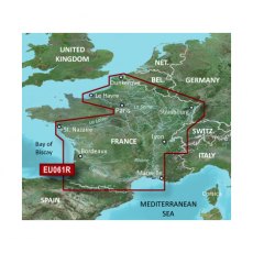
Garmin BlueChart G3 Regular Area - HXEU061R France Inland Waters
BlueChart g3 coastal charts provide industry-leading coverage, clarity and detail with integrated Garmin and Navionics data. Also included is Auto Guidance technology, which uses your desired depth and overhead clearance to calculate routes and provide a suggested path to follow — overlaid onto your chart. NOAA raster cartography is also available as a free downloadable feature via the ActiveCaptain app. It gives your chartplotter paper chartlike views of NOAA-surveyed areas in which individual points of interest are labelled with corresponding longitude and latitude information. Worldwide coverage is available by regions as accessory cards or via download; each region is sold separately. Compatable with ECHOMAP™ Plus series chartplotters.
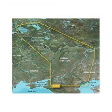
Garmin BlueChart G3 Regular Area - HXEU062R Russian Inland Waterways
Unparalleled Coastal Chart Coverage
Provides industry-leading coverage, clarity and detail with updated coastal charts that feature integrated Garmin and Navionics data
Auto Guidance1 technology calculates a route using your desired depth and overhead clearance and provides a suggested path to follow
Includes Depth Range Shading for up to 10 depth ranges, enabling you to view your target...
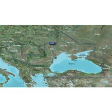
Garmin BlueChart G3 Regular Area - HXEU063R Black Sea & Azov Sea
BlueChart g3 coastal charts provide industry-leading coverage, clarity and detail with integrated Garmin and Navionics data. Also included is Auto Guidance technology, which uses your desired depth and overhead clearance to calculate routes and provide a suggested path to follow — overlaid onto your chart. NOAA raster cartography is also available as a free downloadable feature via the ActiveCaptain app. It gives your chartplotter paper chartlike views of NOAA-surveyed areas in which individual points of interest are labelled with corresponding longitude and latitude information. Worldwide coverage is available by regions as accessory cards or via download; each region is sold separately. Compatable with ECHOMAP™ Plus series chartplotters.
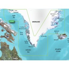
Garmin BlueChart G3 Regular Areas - HXEU064R Greenland
BlueChart g3 coastal charts provide industry-leading coverage, clarity and detail with integrated Garmin and Navionics data. Also included is Auto Guidance technology, which uses your desired depth and overhead clearance to calculate routes and provide a suggested path to follow — overlaid onto your chart. NOAA raster cartography is also available as a free downloadable feature via the ActiveCaptain app. It gives your chartplotter paper chartlike views of NOAA-surveyed areas in which individual points of interest are labelled with corresponding longitude and latitude information. Worldwide coverage is available by regions as accessory cards or via download; each region is sold separately. Compatable with ECHOMAP™ Plus series chartplotters.
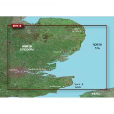
Garmin BlueChart G3 Vision Small Area - VEU461S - Thames Estuary
Experience unparalleled coverage and brilliant detail when you're on the water. BlueChart G3 Vision coastal charts provide industry-leading coverage, clarity and detail with integrated Garmin and Navionics content. Compatible with the Garmin GPSMAP and ECHOMAP series Chartplotters.
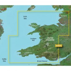
Garmin BlueChart G3 Vision Small Area - VEU467S - Blackpool - Cardiff
Experience unparalleled coverage and brilliant detail when you're on the water. BlueChart G3 Vision coastal charts provide industry-leading coverage, clarity and detail with integrated Garmin and Navionics content. Compatible with the Garmin GPSMAP and ECHOMAP series Chartplotters.
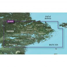
Garmin BlueChart G3 Vision Small Area - VEU469S - Stockholm & Malaren
Experience unparalleled coverage and brilliant detail when you're on the water. BlueChart G3 Vision coastal charts provide industry-leading coverage, clarity and detail with integrated Garmin and Navionics content. Compatible with the Garmin GPSMAP and ECHOMAP series Chartplotters.
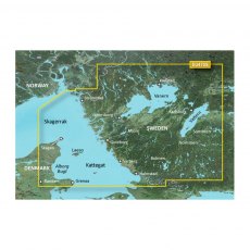
Garmin BlueChart G3 Vision Small Area - VEU470S - Stromstad - Halmstad
Experience unparalleled coverage and brilliant detail when you're on the water. BlueChart G3 Vision coastal charts provide industry-leading coverage, clarity and detail with integrated Garmin and Navionics content. Compatible with the Garmin GPSMAP and ECHOMAP series Chartplotters.
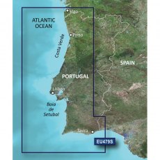
Garmin BlueChart G3 Vision Small Area - VEU479S - Portugal
Experience unparalleled coverage and brilliant detail when you're on the water. BlueChart G3 Vision coastal charts provide industry-leading coverage, clarity and detail with integrated Garmin and Navionics content. Compatable with the Garmin GPSMAP and ECHOMAP series Chartplotters.
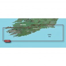
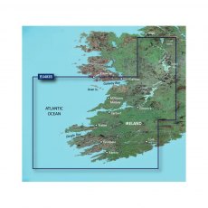
Garmin BlueChart G3 Vision Small Area - VEU482S - Wexford - Dingle Bay
Experience unparalleled coverage and brilliant detail when you're on the water. BlueChart G3 Vision coastal charts provide industry-leading coverage, clarity and detail with integrated Garmin and Navionics content. Compatable with the Garmin GPSMAP and ECHOMAP series Chartplotters.
Garmin BlueChart G3 Vision Small Area - VEU483S - Galway Bay - Cork
Experience unparalleled coverage and brilliant detail when you're on the water. BlueChart G3 Vision coastal charts provide industry-leading coverage, clarity and detail with integrated Garmin and Navionics content. Compatable with the Garmin GPSMAP and ECHOMAP series Chartplotters.
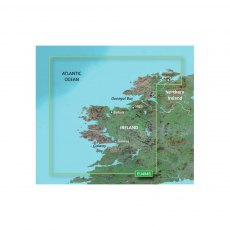
Garmin BlueChart G3 Vision Small Area - VEU484S - Ireland North - West
Experience unparalleled coverage and brilliant detail when you're on the water. BlueChart G3 Vision coastal charts provide industry-leading coverage, clarity and detail with integrated Garmin and Navionics content. Compatable with the Garmin GPSMAP and ECHOMAP series Chartplotters.
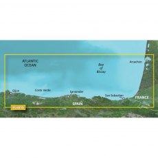
Garmin BlueChart G3 Vision Small Area - VEU485S - Fuenterrabia - Gijon
Experience unparalleled coverage and brilliant detail when you're on the water. BlueChart G3 Vision coastal charts provide industry-leading coverage, clarity and detail with integrated Garmin and Navionics content. Compatable with the Garmin GPSMAP and ECHOMAP series Chartplotters.
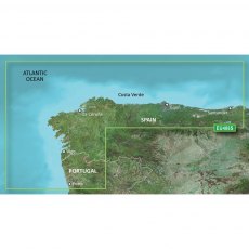
Garmin BlueChart G3 Vision Small Area - VEU486S - Galicia & Asturias
Experience unparalleled coverage and brilliant detail when you're on the water. BlueChart G3 Vision coastal charts provide industry-leading coverage, clarity and detail with integrated Garmin and Navionics content. Compatable with the Garmin GPSMAP and ECHOMAP series Chartplotters.
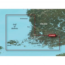
Garmin BlueChart G3 Vision Small Area - VEU492S - Kristinestad - Hanko
Experience unparalleled coverage and brilliant detail when you're on the water. BlueChart G3 Vision coastal charts provide industry-leading coverage, clarity and detail with integrated Garmin and Navionics content. Compatable with the Garmin GPSMAP and ECHOMAP series Chartplotters.
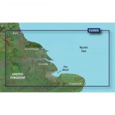
Garmin BlueChart G3 Vision Small Area - VEU500S - Blyth - Lowestoft
Experience unparalleled coverage and brilliant detail when you're on the water. BlueChart G3 Vision coastal charts provide industry-leading coverage, clarity and detail with integrated Garmin and Navionics content. Compatable with the Garmin GPSMAP and ECHOMAP series Chartplotters.
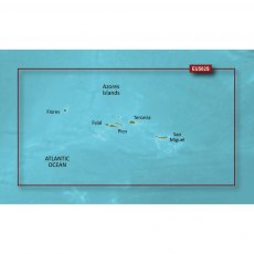
Garmin BlueChart G3 Vision Small Area - VEU502S - Azores Islands
Experience unparalleled coverage and brilliant detail when you're on the water. BlueChart G3 Vision coastal charts provide industry-leading coverage, clarity and detail with integrated Garmin and Navionics content. Compatable with the Garmin GPSMAP and ECHOMAP series Chartplotters.
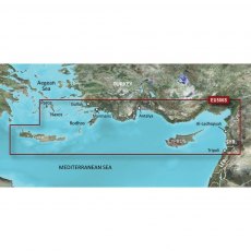
Garmin BlueChart G3 Vision Small Area - VEU506S - Crete - Cyprus
Experience unparalleled coverage and brilliant detail when you're on the water. BlueChart G3 Vision coastal charts provide industry-leading coverage, clarity and detail with integrated Garmin and Navionics content. Compatable with the Garmin GPSMAP and ECHOMAP series Chartplotters.
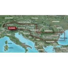
Garmin BlueChart G3 Vision Small Area - VEU509S - Danube River
Experience unparalleled coverage and brilliant detail when you're on the water. BlueChart G3 Vision coastal charts provide industry-leading coverage, clarity and detail with integrated Garmin and Navionics content. Compatable with the Garmin GPSMAP and ECHOMAP series Chartplotters.
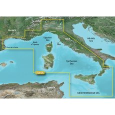
Garmin BlueChart G3 Vision - VEU012R: Mediterranean Sea, Central-West
Experience unparalleled coverage and brilliant detail when you're on the water. BlueChart G3 Vision coastal charts provide industry-leading coverage, clarity and detail with integrated Garmin and Navionics content. Compatable with the Garmin GPSMAP and ECHOMAP series Chartplotters.
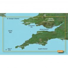
Garmin BlueChart G3 Vision - VEU463S: Bristol Chan & SW Eng
Experience unparalleled coverage and brilliant detail when you're on the water. BlueChart G3 Vision coastal charts provide industry-leading coverage, clarity and detail with integrated Garmin and Navionics content. Compatible with the Garmin GPSMAP and ECHOMAP series Chartplotters.
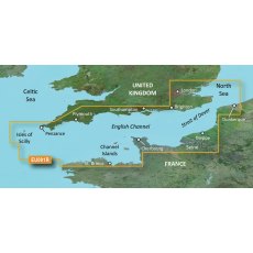
Garmin BlueChart G3 Vision Regular Area - VEU001R English Channel
Experience unparalleled coverage and brilliant detail when you're on the water. BlueChart G3 Vision coastal charts provide industry-leading coverage, clarity and detail with integrated Garmin and Navionics content. Compatable with the Garmin GPSMAP and ECHOMAP series Chartplotters.
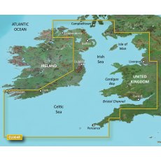
Garmin BlueChart G3 Vision Regular Area - VEU004R Irish Sea
Experience unparalleled coverage and brilliant detail when you're on the water. BlueChart G3 Vision coastal charts provide industry-leading coverage, clarity and detail with integrated Garmin and Navionics content. Compatable with the Garmin GPSMAP and ECHOMAP series Chartplotters.
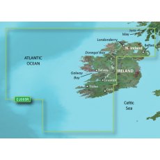
Garmin BlueChart G3 Vision Regular Area - VEU005R Ireland, West Coast
Experience unparalleled coverage and brilliant detail when you're on the water. BlueChart G3 Vision coastal charts provide industry-leading coverage, clarity and detail with integrated Garmin and Navionics content. Compatable with the Garmin GPSMAP and ECHOMAP series Chartplotters.
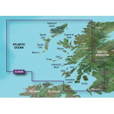
Garmin BlueChart G3 Vision Regular Area - VEU006R Scotland, West Coast
Experience unparalleled coverage and brilliant detail when you're on the water. BlueChart G3 Vision coastal charts provide industry-leading coverage, clarity and detail with integrated Garmin and Navionics content. Compatable with the Garmin GPSMAP and ECHOMAP series Chartplotters.
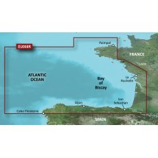
Garmin BlueChart G3 Vision Regular Area - VEU008R Bay of Biscay
Experience unparalleled coverage and brilliant detail when you're on the water. BlueChart G3 Vision coastal charts provide industry-leading coverage, clarity and detail with integrated Garmin and Navionics content. Compatable with the Garmin GPSMAP and ECHOMAP series Chartplotters.
Garmin BlueChart G3 Vision Regular Area - VEU014R Italy, Adriatic Sea
Experience unparalleled coverage and brilliant detail when you're on the water. BlueChart G3 Vision coastal charts provide industry-leading coverage, clarity and detail with integrated Garmin and Navionics content. Compatable with the Garmin GPSMAP and ECHOMAP series Chartplotters.
Garmin BlueChart G3 Vision Regular Area - VEU019R Alborg-Amsterdam
Experience unparalleled coverage and brilliant detail when you're on the water. BlueChart G3 Vision coastal charts provide industry-leading coverage, clarity and detail with integrated Garmin and Navionics content. Compatable with the Garmin GPSMAP and ECHOMAP series Chartplotters.
Garmin BlueChart G3 Vision Regular Area - VEU042R Oslo - Trelleborg
Experience unparalleled coverage and brilliant detail when you're on the water. BlueChart G3 Vision coastal charts provide industry-leading coverage, clarity and detail with integrated Garmin and Navionics content. Compatable with the Garmin GPSMAP and ECHOMAP series Chartplotters.
Garmin BlueChart G3 Vision Regular Area - VEU043R Iceland to Orkney
Experience unparalleled coverage and brilliant detail when you're on the water. BlueChart G3 Vision coastal charts provide industry-leading coverage, clarity and detail with integrated Garmin and Navionics content. Compatable with the Garmin GPSMAP and ECHOMAP series Chartplotters.
Garmin BlueChart G3 Vision Regular Area - VEU046R Sweden, South-East
Experience unparalleled coverage and brilliant detail when you're on the water. BlueChart G3 Vision coastal charts provide industry-leading coverage, clarity and detail with integrated Garmin and Navionics content. Compatable with the Garmin GPSMAP and ECHOMAP series Chartplotters.
Garmin BlueChart G3 Vision Regular Area - VEU051R Lista - Sognefjorden
Experience unparalleled coverage and brilliant detail when you're on the water. BlueChart G3 Vision coastal charts provide industry-leading coverage, clarity and detail with integrated Garmin and Navionics content. Compatable with the Garmin GPSMAP and ECHOMAP series Chartplotters.
Garmin BlueChart G3 Vision Regular Area - VEU053R Trondheim - Tromso
Experience unparalleled coverage and brilliant detail when you're on the water. BlueChart G3 Vision coastal charts provide industry-leading coverage, clarity and detail with integrated Garmin and Navionics content. Compatable with the Garmin GPSMAP and ECHOMAP series Chartplotters.
Garmin BlueChart G3 Vision Regular Area - VEU055R Finnish Lakes
Experience unparalleled coverage and brilliant detail when you're on the water. BlueChart G3 Vision coastal charts provide industry-leading coverage, clarity and detail with integrated Garmin and Navionics content. Compatable with the Garmin GPSMAP and ECHOMAP series Chartplotters.


